

Characteristics of Lake Baikal:
For geologists, hydro-chemists, hydro-physicists, climate scientists, biologists, molecular geneticists, and ecologists Lake Baikal represents an outstanding research object, the study of which already began more than 200 years ago with the expeditions of Pallas and Gmelin.

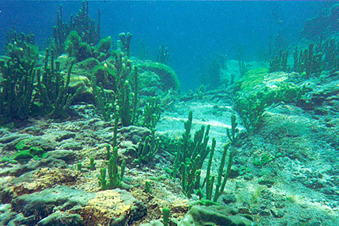
Littoral near Bolshiye Koty in June: Freshwater sponges (Lubomirskiidae) are partly growing shrub-like
Geology:
Lake Baikal partly filled an asymmetric rift valley (Logachev, 1974, 1993) and became the oldest (about 25 Mio. years) and deepest freshwater body of the Earth. Today the Lake consists of three basins. The northern basin was formed later than the others and is separated from them by the submersed Academician Ridge. The older basin is subdivided into a middle and a southern basin by sediments of the largest afflux – the River Selenga (Mats, 1993). Lake Baikal filled the largest depression of the East Siberian Rift System, partly bordering the Siberian platform.

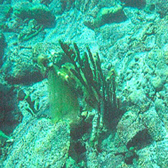
sponge Lubomirskia baicalensis
About 300 affluxes fill Baikal with water and sediment, but only one effluent - River Angara - leaves the lake. The western and eastern shore drift apart - about 2 cm per year, and this prevents the lake from been filled up by sediments. Baikal is sited 455m above sea surface and bordered by ridges. The shores are very steep: 30 - 70° at the southwestern shore, about 15° at the northwestern, and 10° at the eastern shore (Karabanov et al. 1990).
© Röpstorf (Institute of Geological Sciences - Paleontology, Limnological Institute SB RAS Irkutsk), DFG; Layout: lindesign