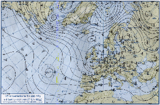
Fig. 3: Initial guess of cyclogenesis,
27 August 1996
Fig. 2 (500 hpa analysis) features a typical upper air flow meso-scale wave,
embedded in basic current with enhanced baroclinicity. Indirect transverse (cross)
circulation in the right behind (upstream) quadrant of jet streak core (300 hPa, over France)
induces over Spain upper level divergence, thus ascending vertical motion in lower
levels.
Coincidence and superposition of upper air trough axis, humid surface air (dewpoint
near 14 C), baroclinicity, positiv vorticity advection (PVA) and forced
orographic effects due to upward motion at southern parts of SIERRA
GUADARRAMA near city of Madrid induce this remarkable atmospheric
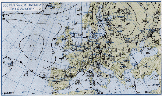
situation presented in figure 3. Fig. 1 (850 hPA analysis)
presents imbalance,
beginning intensification of frontal activity, thus early cyclone development
at low-level baroclinic (frontal wave) zone.
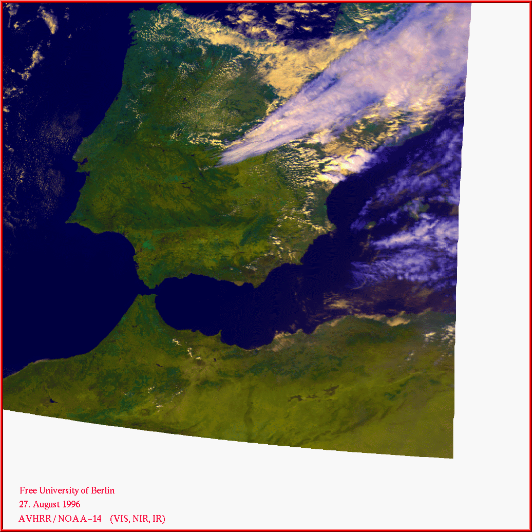
More details are available at presented satellite images
Channel 1,
Channel 2,
Channel 3 and
Channel 4.
Creation Date: Friday August 30, 1996
© Free University of Berlin, Institute of Meteorology, Department of
Remote Sensing
maintained by webmaster@mepc03.met.fu-berlin.de