
New study area in Central America.
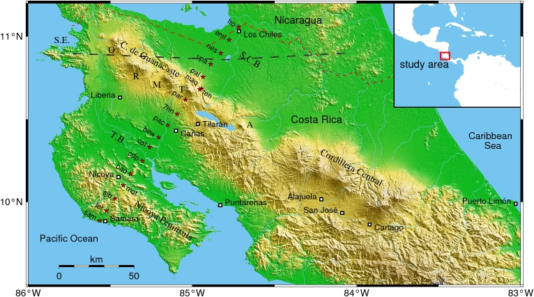
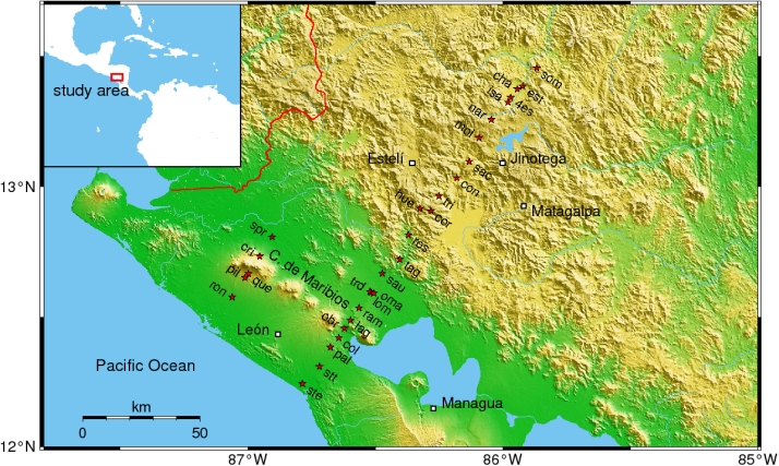
This new project started in late 2007, first measurements were conducted in February/March 2008 in Costa Rica on a profile from the Pacific Coast (Nicoya Penisula) to the Nicaraguan border (Los Chiles), traversing the volcanic arc at Tenorio volcano. A parallel profile in Nicaragua was measured in early 2009, which crosses the volcanic arc between Momotombo and El Hoyo volcanoes. First results of the Costa Rica traverse are published in: , Worzewski, T., and Jegen, M. (2009): Deep electrical resistivity structure of northwestern Costa Rica, Geophys. Res. Lett., 36, L02310, doi:10.1029/2008GL036397.
Funding is provided by the German Research Foundation (DFG). Cooperation partners include: Instituto Costarricense de Electricidad (ICE; G. Alvarado, W. Taylor), Instituto Nicaragüense de Estudios Territoriales (INETER; A. Muñoz), IFM-Geomar (Kiel; M. Jegen, T. Worzewski), TUCAN seismological network (G. Abers).

Map of northwestern Costa Rica with location of MT sites. R, M, T, A denote Rincón de la Vieja, Miravalles, Tenorio and Arenal volcanoes, respectively; S.E. is Santa Elena Peninsula, T.B. Tempisque Basin and S.C.B. San Carlos Basin.

Map of western Nicaragua with location of MT sites.