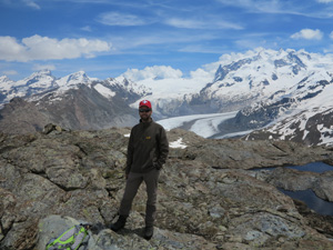
Calibrating models with quantitative detailed geological mapping
The goal is to use detailed geological maps to calibrate numerical models on the outcrop and thin section scale. To this end, the maps will serve either as an initial condition for a model simulation, or as comparison with a finished simulation. I perform detailed mapping on target localities on the scale of the outcrop. I further use such maps in a quantitative manner. Therefore they are digitized and georeferenced with GIS software. Another basic aim is to provide a framework for sampling to have a good context of where the samples were taken. The advantage is that while doing this detailed mapping the eye is more alert to seeing the details and summarizing what you see.
Related publications
- Metasomatism in the Ultrahigh-Pressure Svartberget Garnet-Peridotite (Western Gneiss Region, Norway): Implications for the Transport of Crust-Derived Fluids within the Mantle.
- Journal of Petrology 54 (9): 1815-48. doi:10.1093/petrology/egt032.
- An alternative model for ultra-high pressure in the Svartberget Fe-Ti garnet-peridotite, Western Gneiss Region, Norway.
- European Journal of Mineralogy 21 (6): 1119-33. doi:10.1127/0935-1221/2009/0021-1985.
- Stress release in exhumed intermediate and deep earthquakes determined from ultramafic pseudotachylyte.
- Geology 36 (12): 995-98. doi:10.1130/G25230A.1.
- Evidence for diamond-grade ultra-high pressure metamorphism and fluid interaction in the Svartberget Fe-Ti garnet peridotite-websterite body, Western Gneiss Region, Norway.
- Mineralogy and Petrology 88 (1-2): 381-405. doi:10.1007/s00710-006-0160-6.
- Effect of small-scale heterogeneities on interpretation of crustal compositions exemplified by a layered anorthosite
- Lithos 216-217 (February): 298-314. doi:10.1016/j.lithos.2014.12.019.
